IE

We recognize the unique advantages offered by both mobile and fixed tripod scanning technologies, understanding that each is suited to different types of facilities. Consequently, Integrus Digital commits to thoroughly evaluating every project to determine the most effective scanning tool combination. We prioritize georeferencing as a crucial foundation for developing a high-quality SmartModel, believing it to be essential for accuracy and reliability.
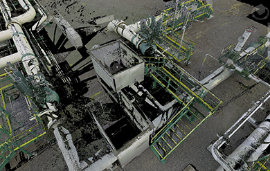
There are scenarios where employing both mobile and fixed tripod scanning concurrently will yield the best results, especially for facilities with complex internal structures and more straightforward, expansive external areas. In such cases, we would craft a hybrid point cloud to capture the intricacies and nuances of the environment accurately.
Moreover, we offer the innovative service of integrating your existing scanned data inventory. This approach allows us to create dynamic timeline presentations or merge specific sections to produce an up to date As Found LiDAR scan. This method ensures that you have the most current and comprehensive understanding of your facility, enhancing decision-making and planning processes.
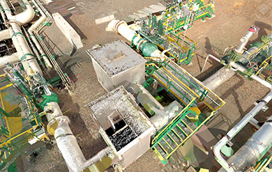
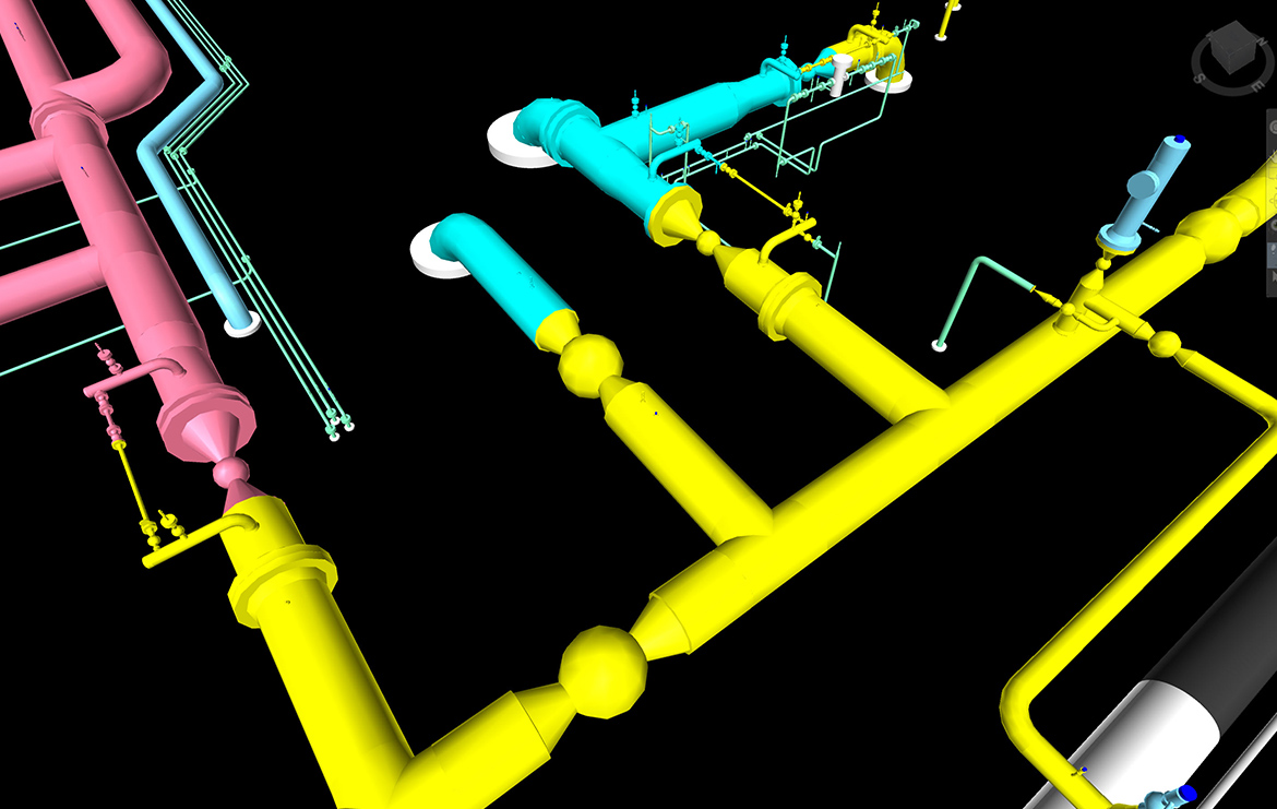
If you want a 3D design model BUILT from an existing condition or develop a BIM for construction or asset information management, 3D Laser Scanning is an excellent process to ensure accuracy, and reduce waste, time, and costly mistakes. Accurately monitor clashes, movement, flatness, plumbness, thickness, deviations, and artifacts to sub-centimeter level.